Mae Nam Ping Kayak Tour 2022
Day 3: Kayaking to Bpan’s Raft
13 January Bpan’s Raft (22 kilometers paddling to Three-Way Junction, then 11
kilometers tow)
After breakfast this morning, I changed to the fiber kayak
with Iew in the front, an arrangement that lasted for the rest of the trip. I
liked paddling with Iew, who is a steadier paddler than me, and the extra speed
of the fiber kayak. My arms had recovered overnight and didn’t give me any more
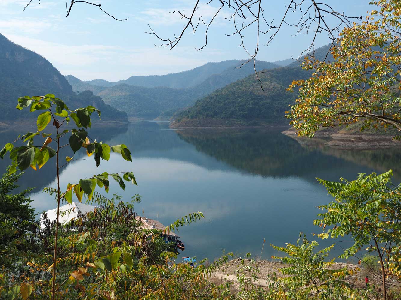
trouble. As yesterday, our route began with a narrow section of river which
opened up. A huge cliff face on the left supposedly represents a cat, but takes
lots of imagination. A bit farther on the left we stopped to visit Tham Chang
Rong (Elephant Cry Cave), filled with shrines and inhabited by bats. We tied up
at a pair of monastery rafts, one a hall and another a well-stocked kitchen,
then walked atop precarious planks to the shore for a short trail up to the cave
and a fine panorama. Trails led higher up the hillside to more views and monk’s
kutis (huts). I found visits to Buddhist shrines and temples one of the most
enjoyable aspects of the trip.
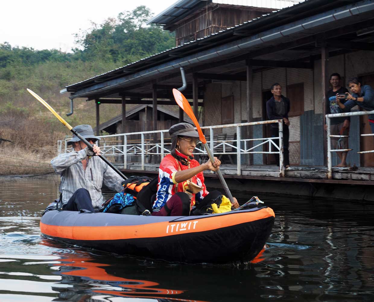
Uncle Dten, Chat,
and Jai watch as David and Areeya paddle off at the start of another day’s
adventure.
The sun has yet to rise above the mountain.
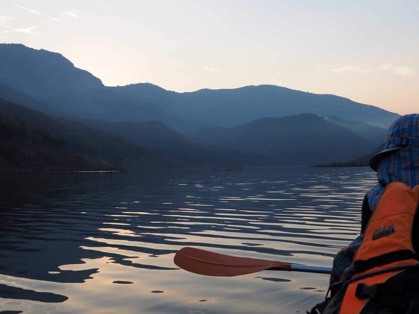
Chris takes in the
view.
Areeya
likes to snap photos!
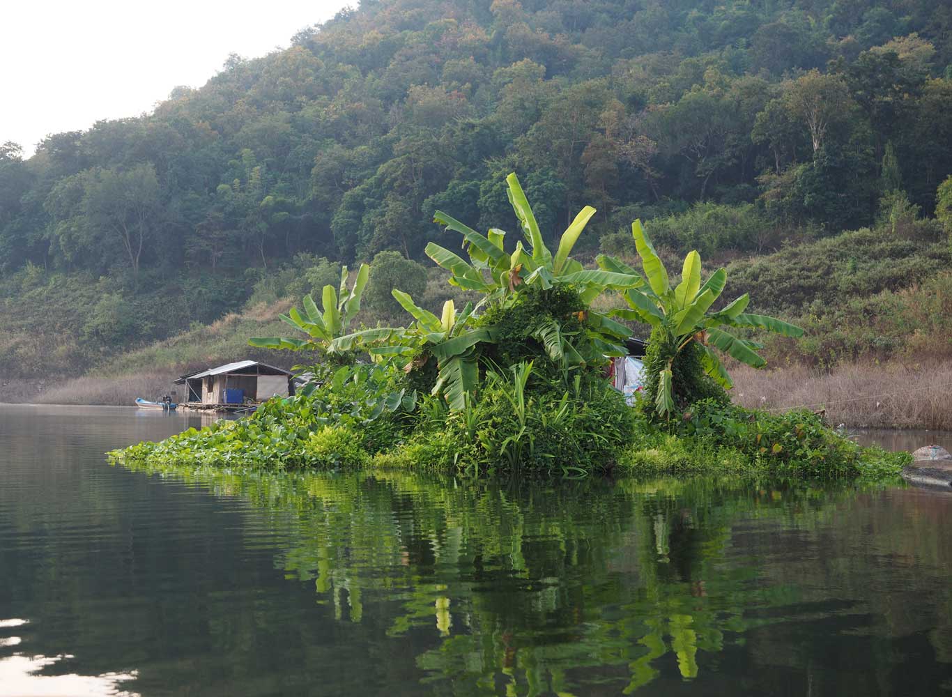
Banana plants tower
over a floating garden.
Often we would stop
paddling to listen to sounds of bird calls and tinkling cattle bells coming from
the forest.
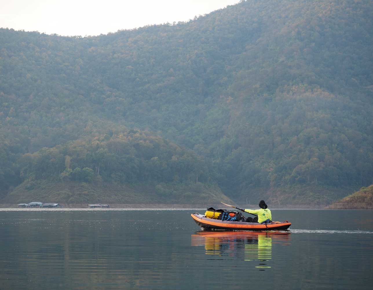
We head toward the sun.
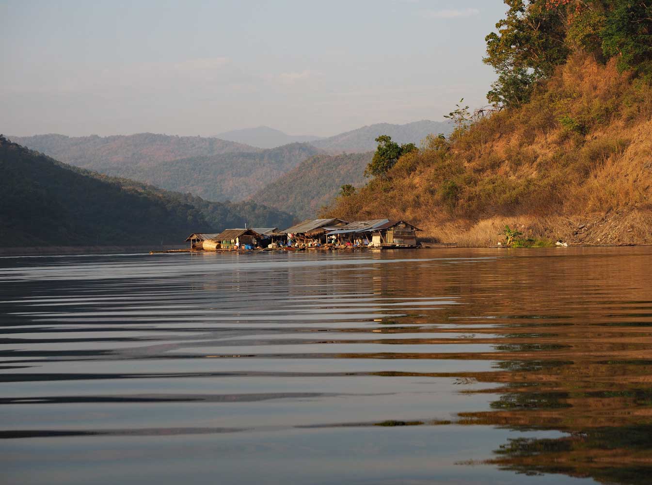
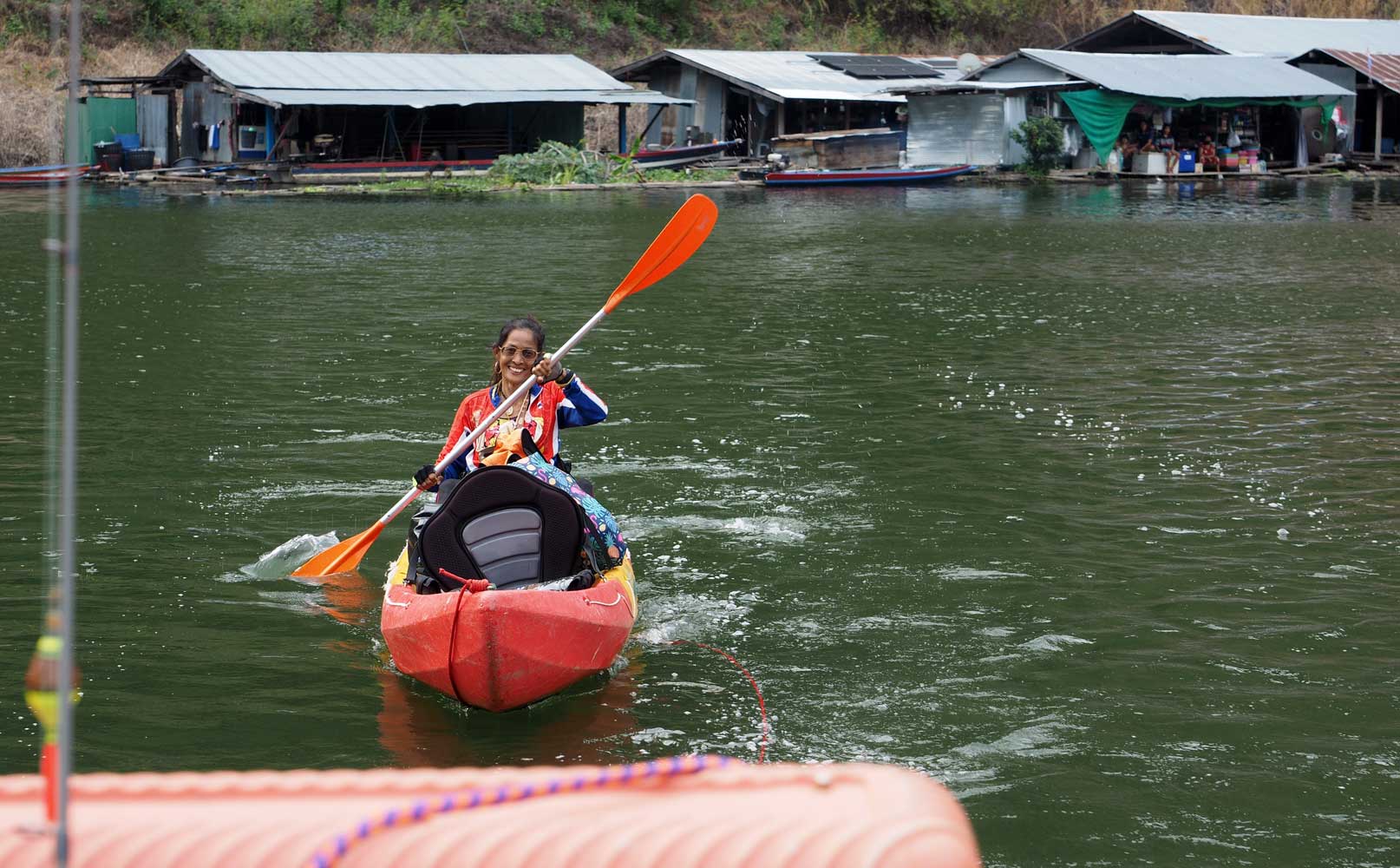
A village on rafts
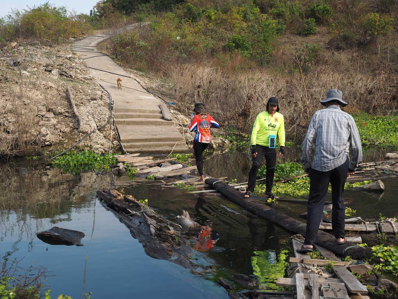
At Tham Chang
Rong (Elephant Cry Cave) we dock at the monastery rafts, then face this dodgy
plank bridge to shore.
Will David make it across or not? In the end he
chooses discretion and shuttles over by boat.
Chat and Jai pull
in too.
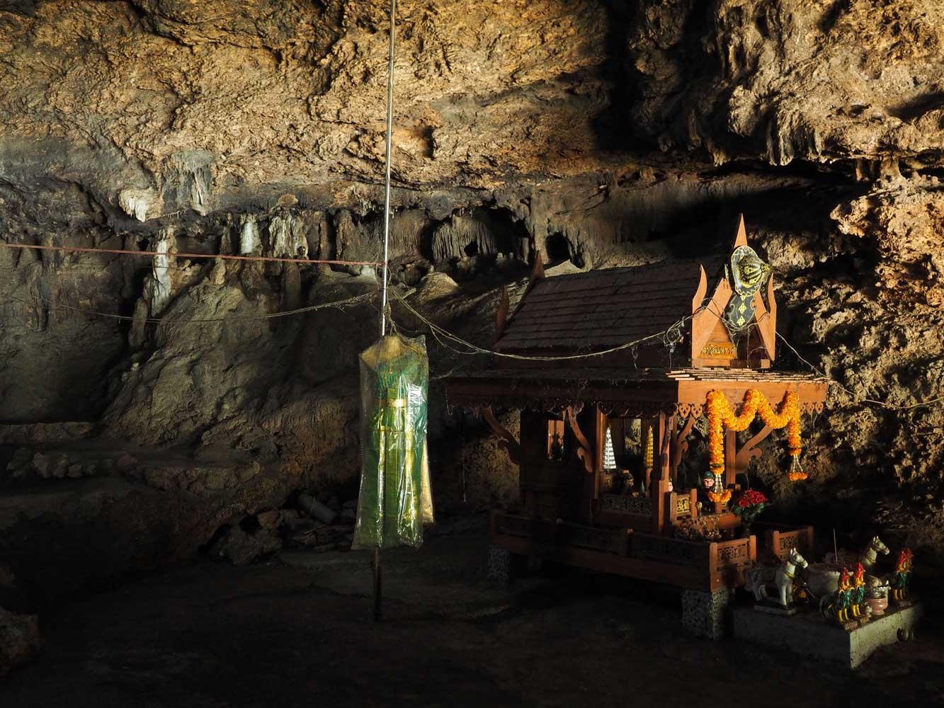
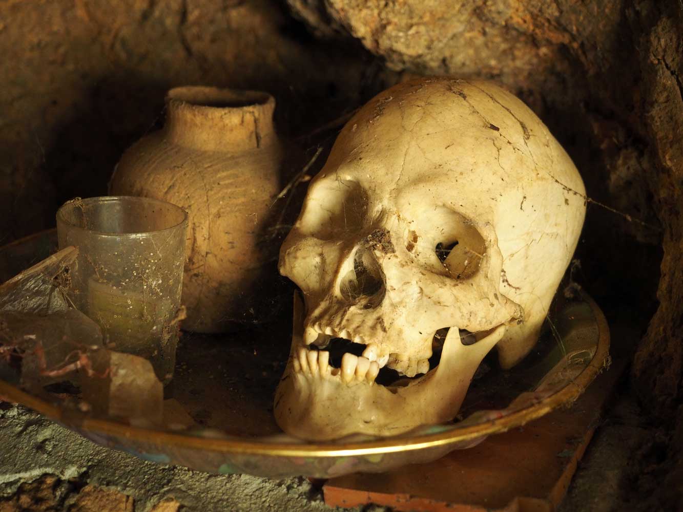
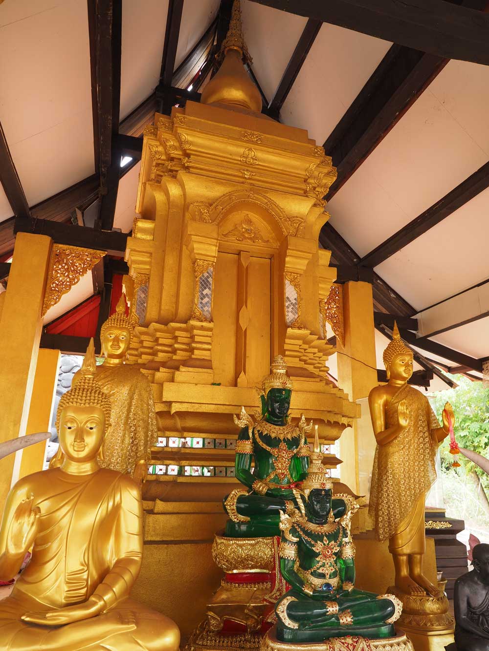
A
shrine inside Tham Chang Rong (Elephant Cry Cave).
I think this shrine
honors King Taksin (1734-82), who led the fight to expel
the Burmese after
the fall of Ayutthaya in 1767, then subsequently reunified Siam.
A reminder that
life is impermanent
View from the mouth
of the cave
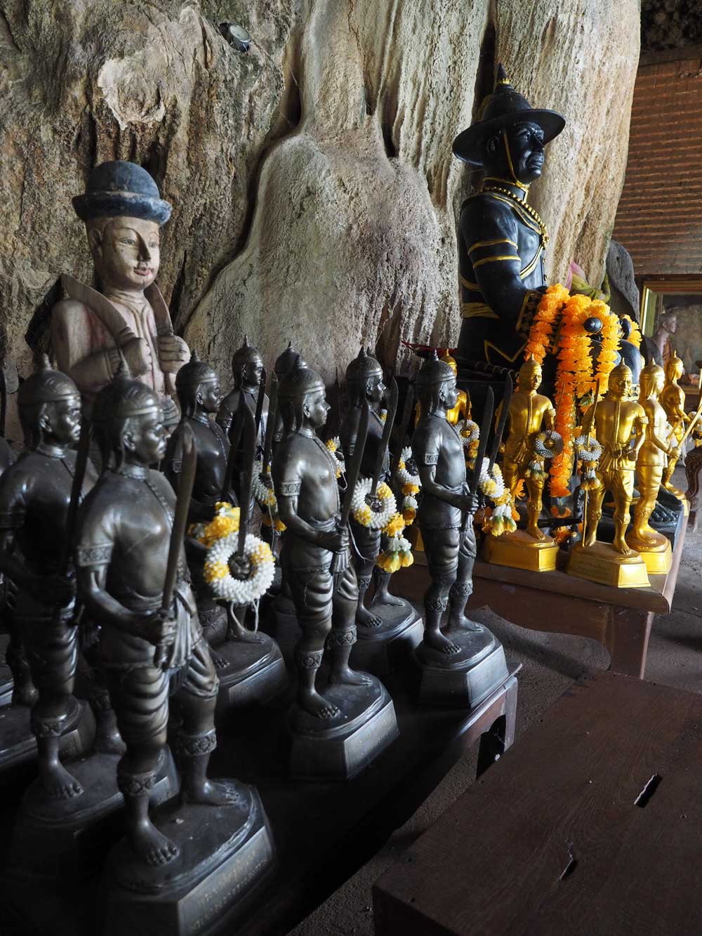
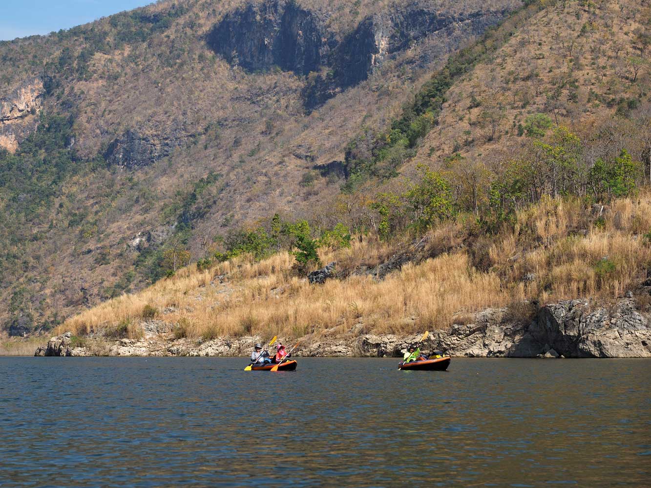
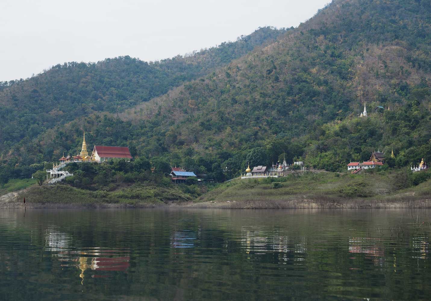
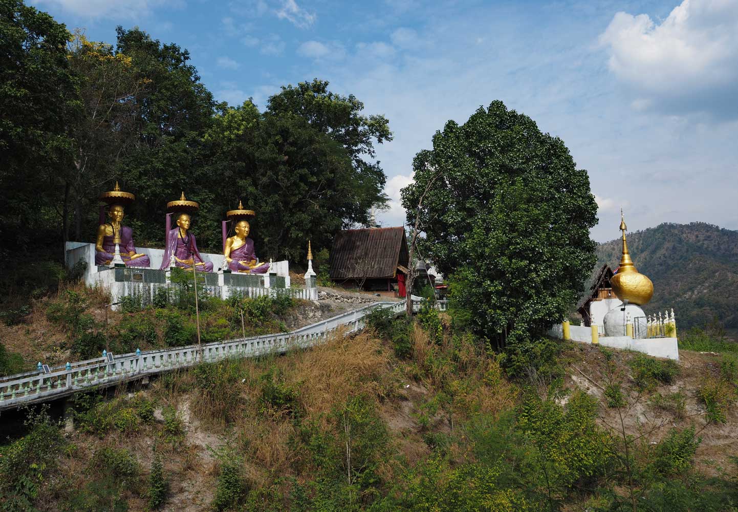
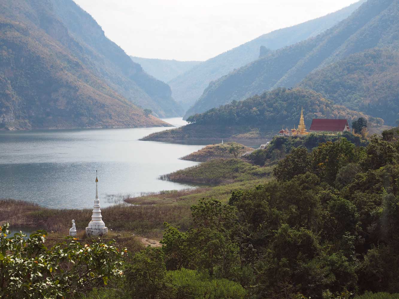
Another 7 kilometers of paddling took us
into a very wide section, where the temple complex Geang Soi came into view on the right. It’s an old
place whose original structures now lie underwater. We parked at a raft, then
climbed a brush-covered hillside to a long pathway that contoured along a slope
past many statues and shrines. Side trails climbed to a golden chedi and halls.
The path crossed many bridges over steep ravines and ended at a shrine.
Beneath towering
cliffs
Only
part of the Geang Soi temple complex
The long
pathway that we followed past statues and shrines
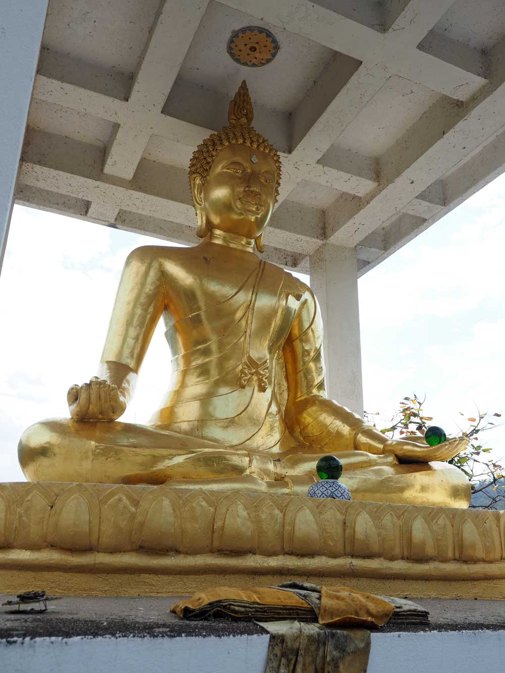
View from the
heights at the modest golden chedi
A shrine glows in
golden hues.
This Buddha image sits atop a small hill at the end of the pathway.
View back the way
we came from the end of the pathway
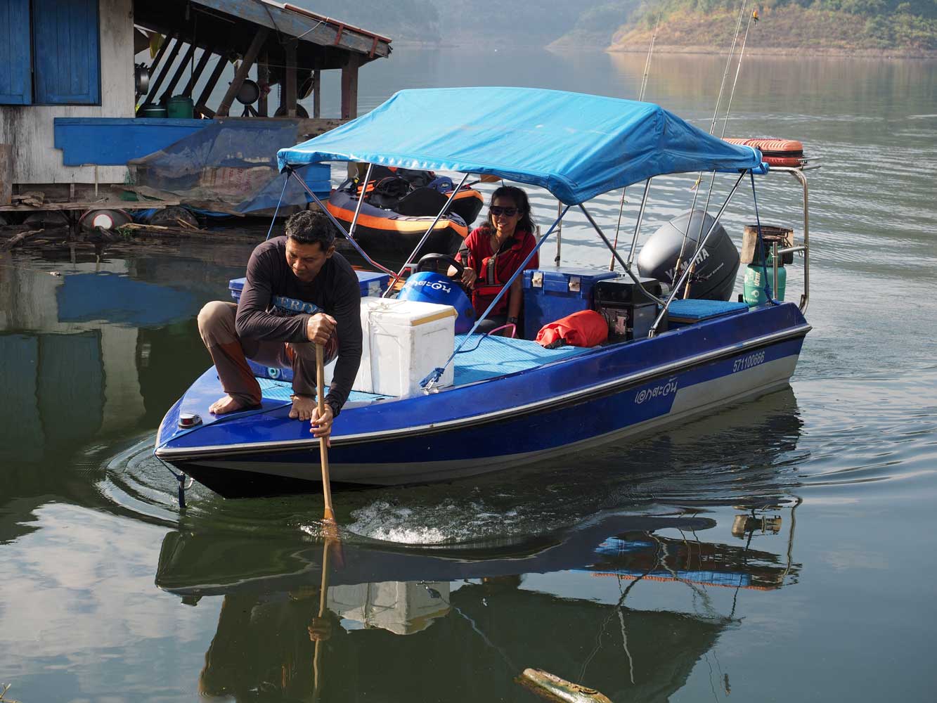
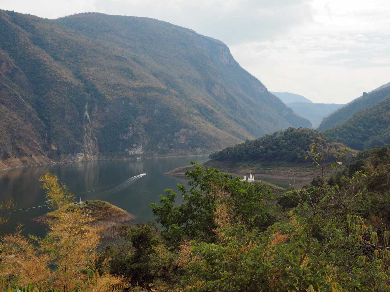
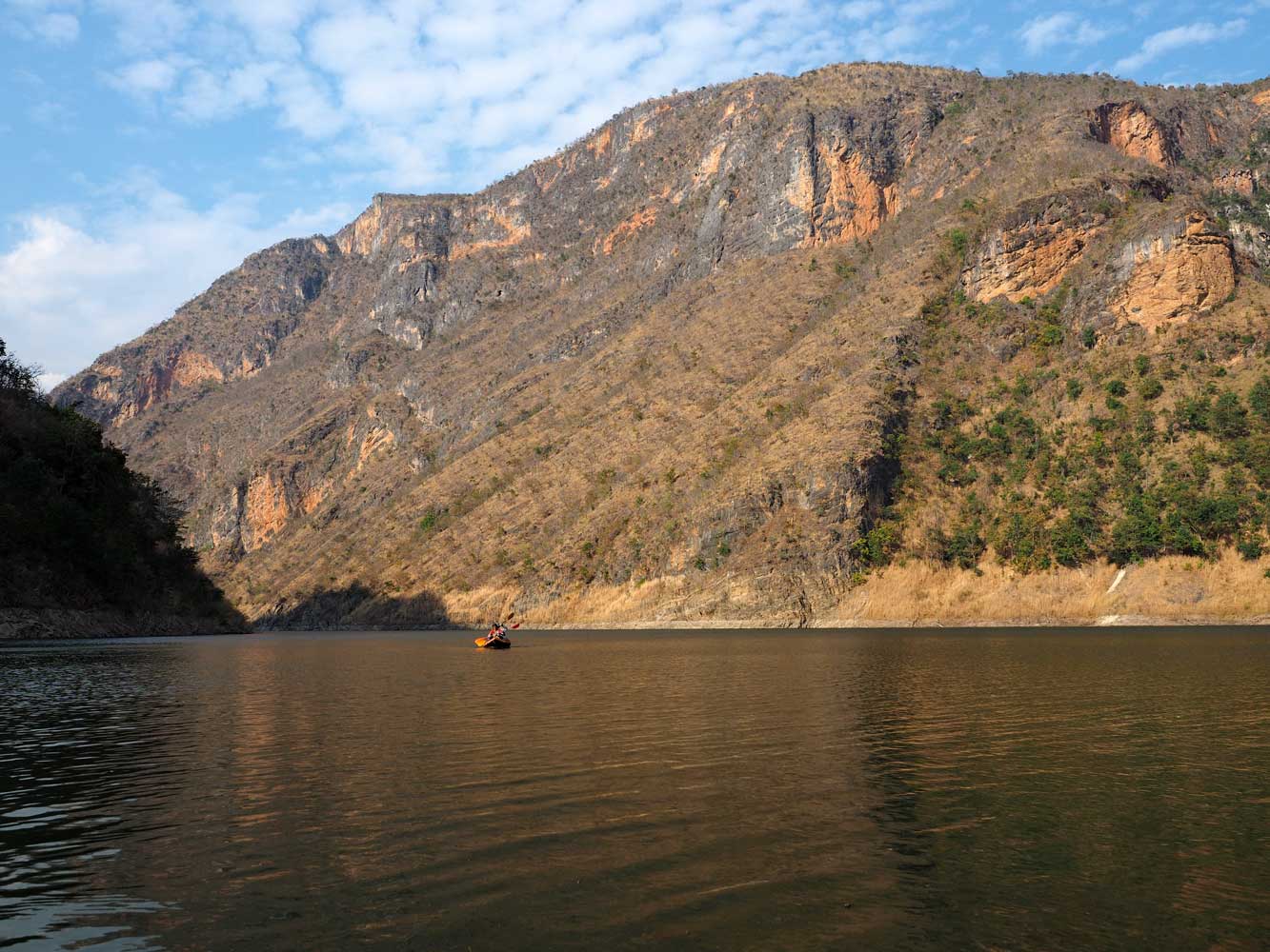
A
6-kilometer paddle took us to Three-Way Junction, where the Mae Tuen joins the
Ping, and the only shop on our journey. Areeya treated us to fruit ices, the
village ice cream. Chris had planned for us to stay on one of the rafts here,
but the owners were reluctant to host us. Instead they offered use of a family
raft 11 kilometers downriver. We had already paddled 22 kilometers today and
another 11 would have been exhausting and put us in after dark. Chris came up
with the idea of having Jai and Chat give us a tow with their motorboat, and we
had a relaxing trip east on the river under towering cliffs to our overnight
spot. Here we set up tents, a bit cramped on the small raft. Jai and Chat served
dinner, then moored nearby for the night. They amazed us not only with the great
food, but also how well they kept everything on their little boat neatly
organized and stored.
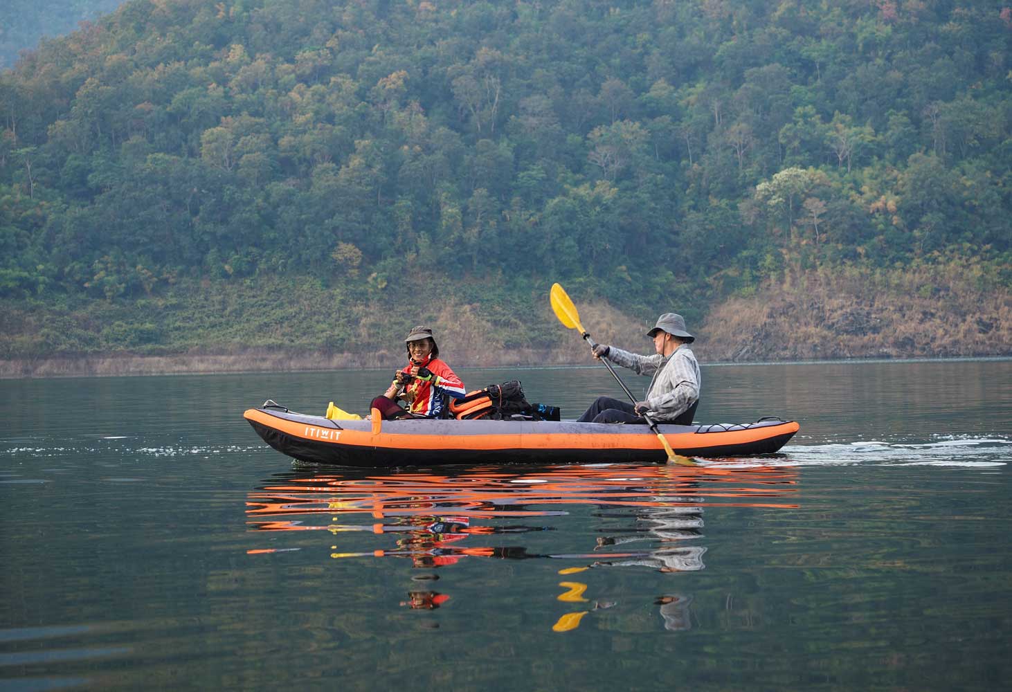
Paddling in the
late-afternoon light
Areeya pretends to
paddle when she’s really getting a tow.
Raft houses and the shop of Three-Way
Junction recede in the background.
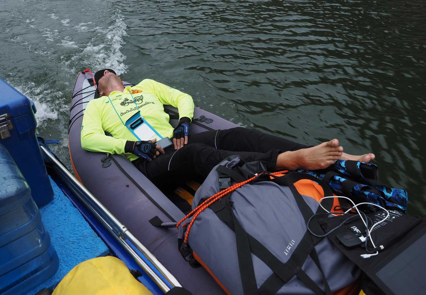
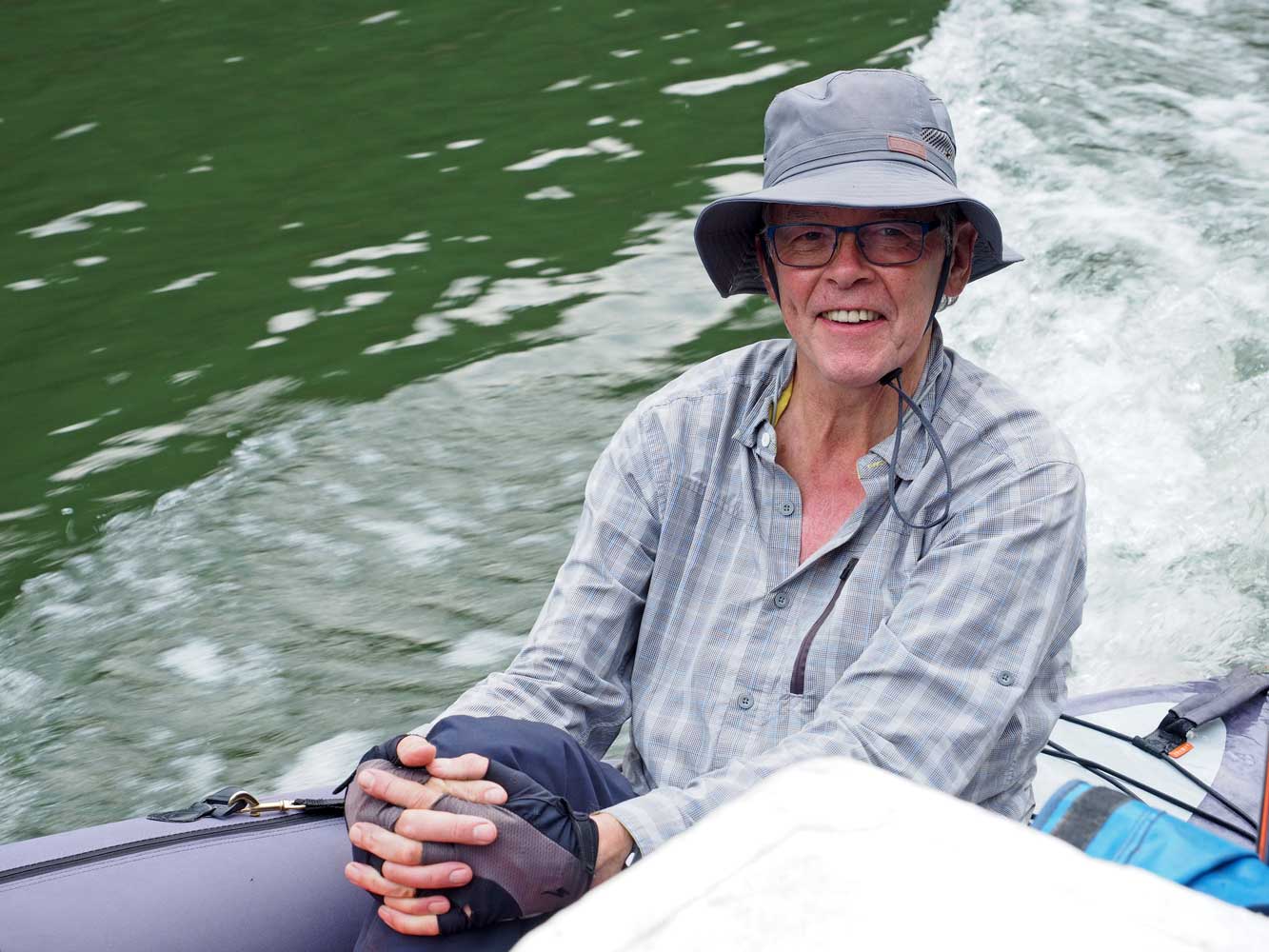
Chris doesn’t even
pretend to paddle.
David enjoys the
tow.
On to Day 4: Kayaking to Jai’s and Chat’s Raft
Back to Beginning