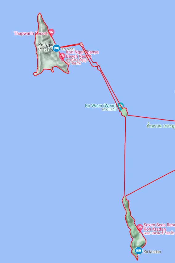
Day 6: Ko Kradan to Ko Ngai (We did not kayak around Ko Ngai.)
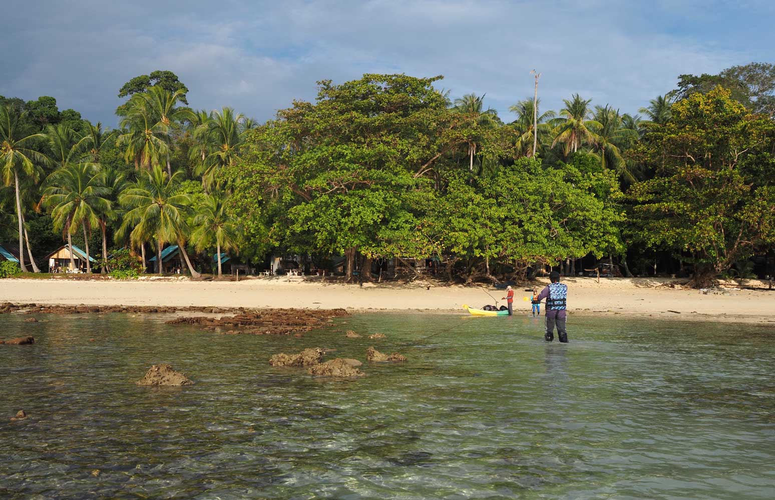
We leave Ao Nieang Beach Resort on Ko Kradan.
One of the beaches of Ko Kradan that we passed
13 January Ko Ngai
17km
Today’s route stood out for not having any
shore stops during the entire day’s journey. Yesterday, high tide had made our
arrival easy, but this morning the low tide meant we had to drag the kayaks far
out before we could load up and be on our way. In just 0.5 kilometer we
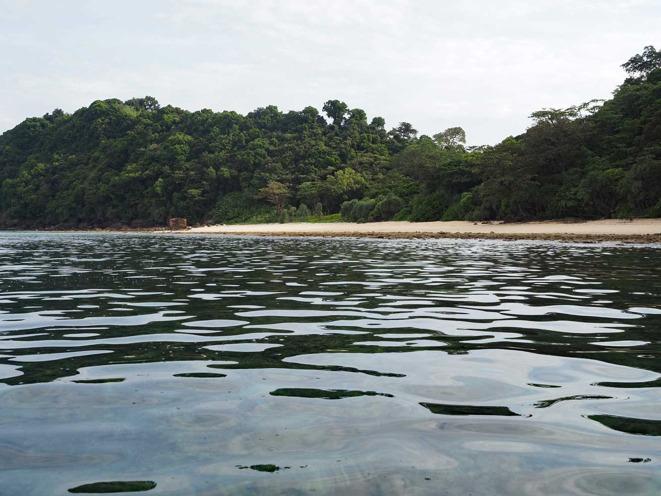
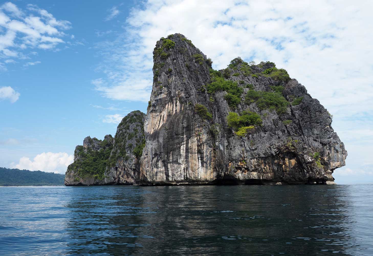
rounded the southern tip of Ko Kradan, then turned north along the western side
of the island past cliff faces, rocky coasts, and three small beaches nestled in
between the mountains. Sunset Beach attracts tourists who hike across the island
in search for the perfect sunset. Next came Ewu Beach in another 600 meters,
North Beach 1.2 kilometers beyond, then the northern tip of the island 1
kilometer farther. Chris had intended for us to stop at North Beach, but Eew and
Ian in the lead kayak had gone far ahead, so all of us just continued on. We saw
a stingray in the shallow water off North Beach.
Day 6: Ko
Kradan to Ko Ngai (We did not kayak around Ko Ngai.)
We leave Ao Nieang Beach Resort on Ko Kradan.
One of the beaches of Ko Kradan that we passed
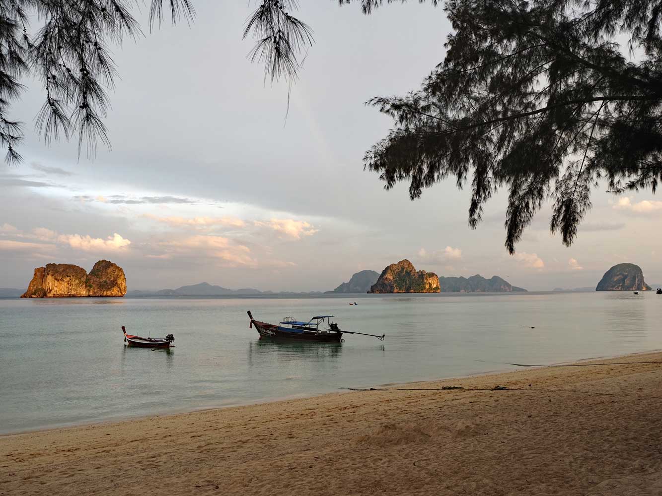
Ko Ngai, the day’s
destination, lay 9 kilometers away, but we broke up the journey with stops at
three islands, all with good snorkeling but no beach or pier. A 5-kilometer
crossing brought us to Ko Waen (Ring Island), a massive limestone pinnacle,
where we pulled in at a little cove on the west side. I slid off the kayak into
the water for snorkeling, and especially liked the underwater terraces of white
and some pink soft corals just north of the cove. I found lots of sergeant major
fish and a lone needlefish near the surface, then saw parrotfish, bannerfish,
triggerfish, and a blue tang in the depths among the drop-offs and fallen
boulders. I thought about snorkeling completely around Ko Waen, but realized
that would take too long. When I returned to the cove I felt a current pushing
against me, no problem because I had fins, but the others lacked fins and had to
stay in the cove. A dive boat pulled in as we were leaving.
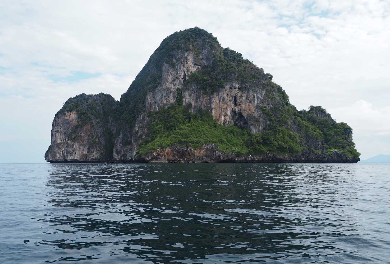
Ko Waen (Ring Island)
Next we had
a 2.7-kilometer crossing to Ko Chueak (Rope Island), actually a pair of
limestone pinnacles. An excursion boat full of snorkelers—all wearing bright
orange life vests—had tied to a buoy and another excursion boat pulled in, so we
paddled around to another spot between the two islands. The shallow water
offered good snorkeling with similar fish as Ko Waen plus a dark gray
pufferfish. We had our packed lunches—fried rice with egg and veggies for
me—while floating in our kayaks.
Ko Chueak (Rope Island)
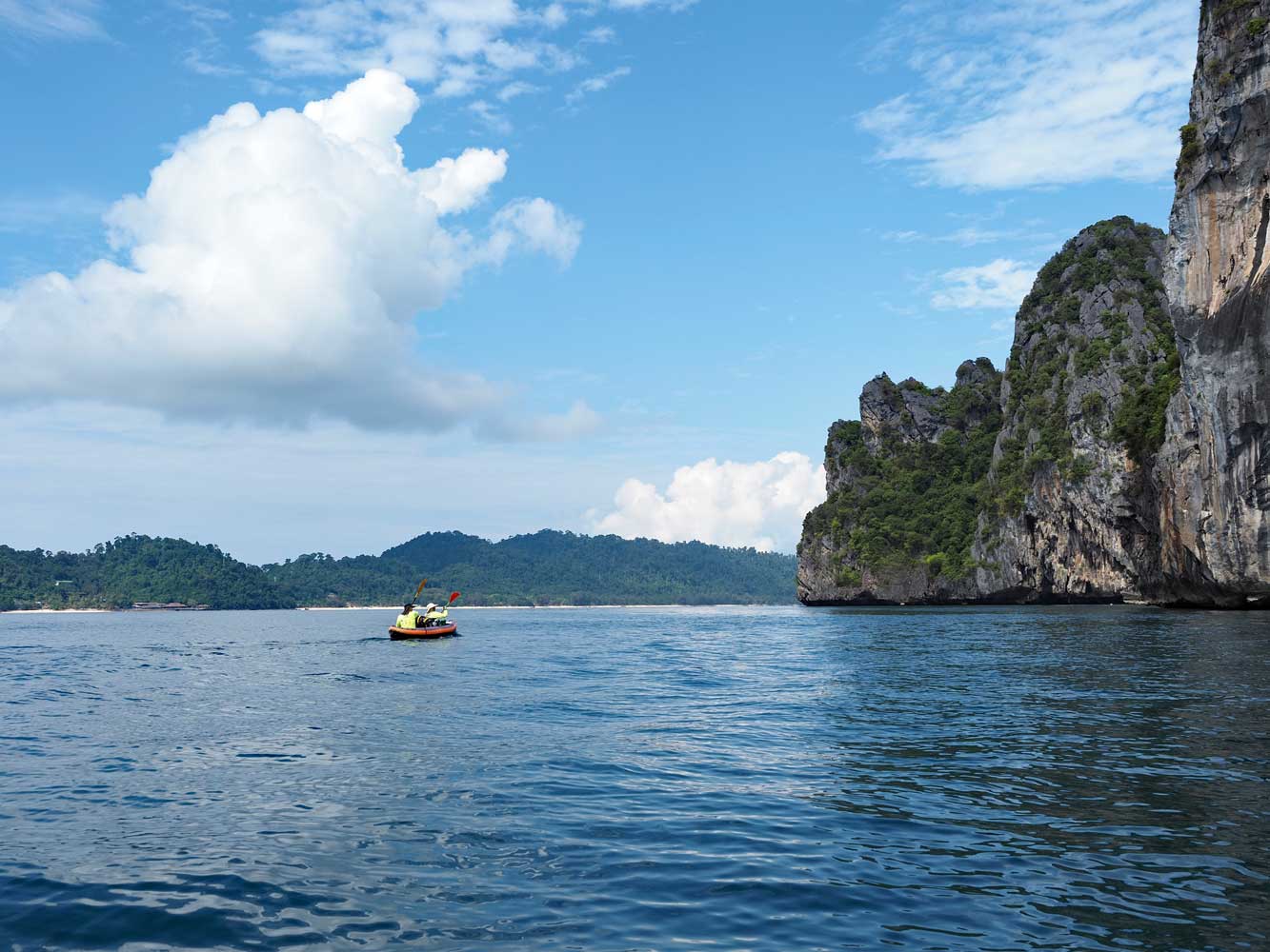
Ko Ngai stretches in the background as we near Ko Chueak.
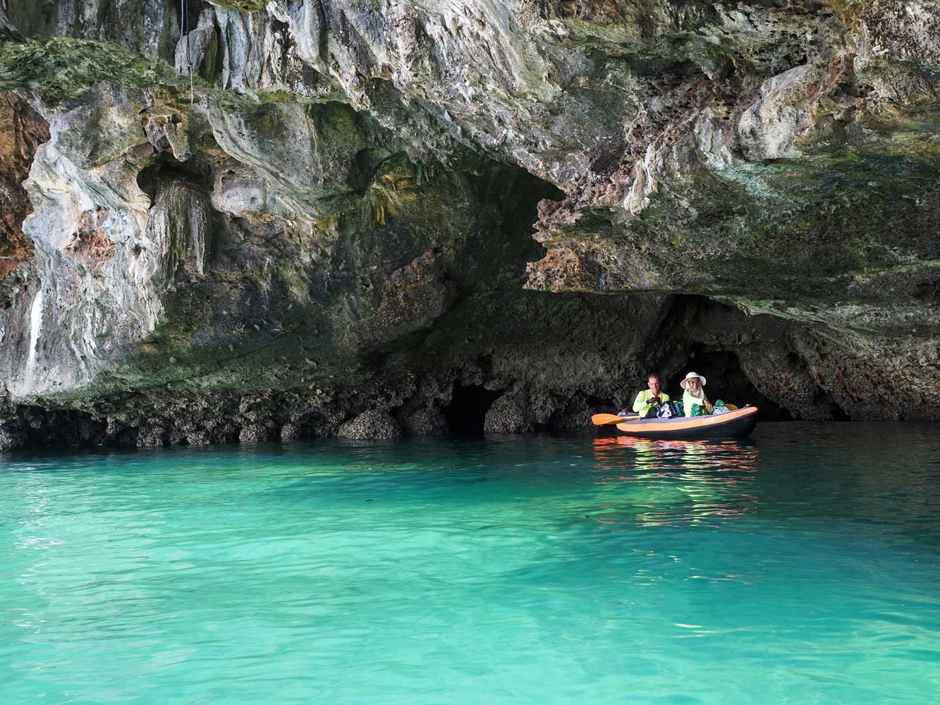
A shady recess of Ko Chueak
We had just a kilometer of paddling to
Ko Ma (Horse Island), a smaller limestone pinnacle, where we stopped in a
shallow coral cove on the east side. Nobody else wished to snorkel, but Chris
encouraged me to have a look and see what’s here. I found lots of small corals,
though more dead patches than living. Tiny nearly transparent jellyfish drifted
through the water, but didn’t sting. While I snorkeled, the rest of the group
headed to our resort. Areeya stayed with me but her precious phone slipped out
of her grasp and into the sea. I quickly retrieved it from the shallow water,
but the phone had died. Poor Areeya!
A quick 1.5-kilometer crossing
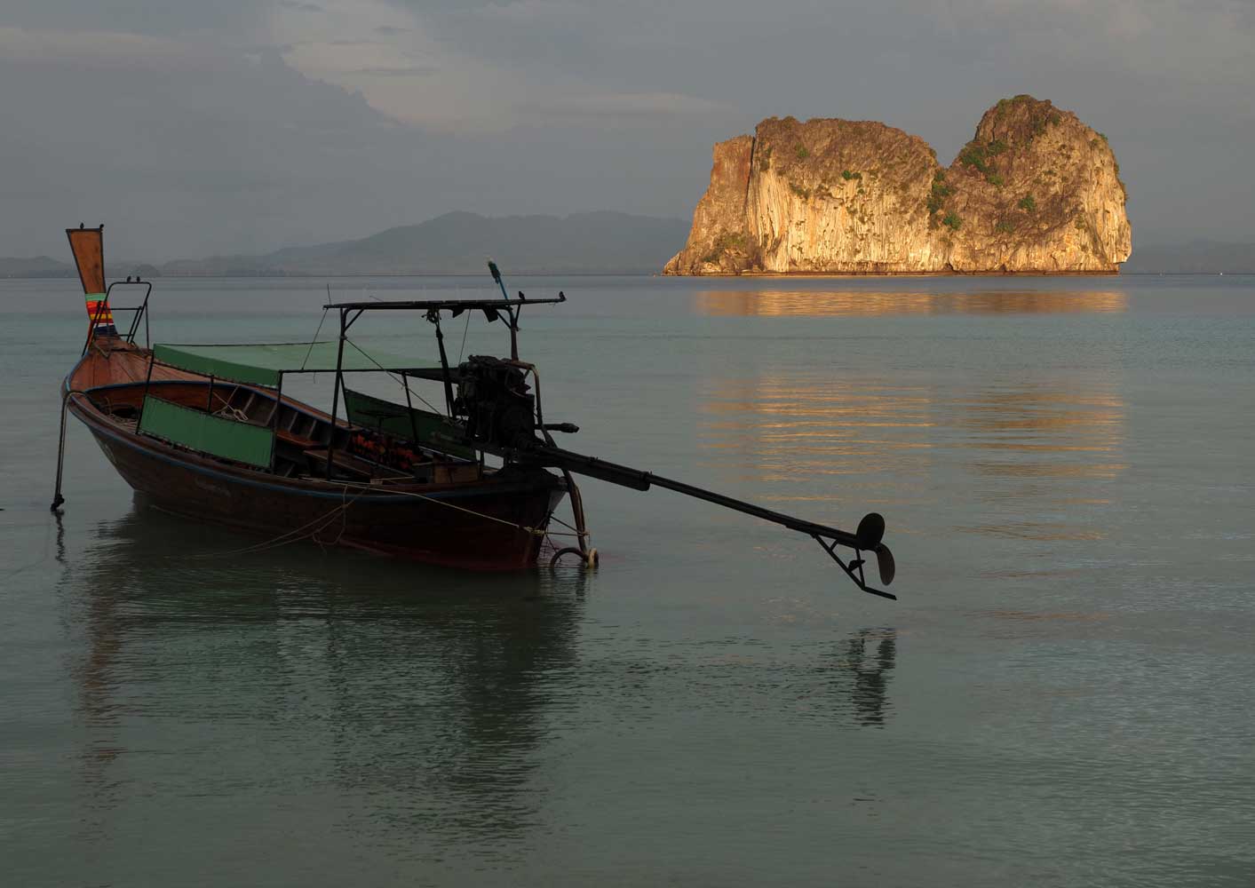
brought us to Ko Ngai, a small roadless island which is part of Mu Ko Lanta
National Park. Like Ko Kradan, it features a white sand beach along much of its
east side and low jungle-clad hills inland. We checked into our little bungalows
at Kaimuk Thong Resort, then walked along the beach to Koh Ngai Seafood, where I
had my favorite curry—Penang tofu—along with a pineapple pancake and a mango
lassi.
Ko Ma (Horse Island) glows in the late afternoon light.
A look back at our day’s journey—Ko Ma (Horse Island),
Ko Chueak (Rope Island), Ko
Waen (Ring Island), and distant Ko Kradan